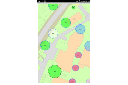
View all your maps quickly and efficientlyFull gazetteer (postcode and map derived)Combine with other surveyors to speed data collectionUse live or cached for bad signal areasFully compatible with Ordnance Survey dataView HD aerial photography to improve accuracyUser editable drop-down boxesUsabilityOrdnance Survey MasterMap On A Tablet
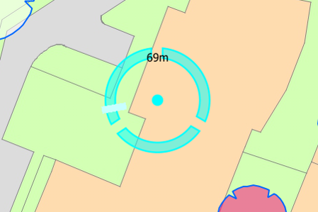
Use Integrated GPS And CameraUse modern and quality hardwareUse GPS already on deviceTake photos with the built in cameraLink photos to tree automatically with timestampUse same high quality maps as in officeCompatability
Use guidance for directing surveyorsGuide them towards outstanding inspectionGuide them towards outstanding maintenanceView shapefiles, e.g. nearby TPO treesView Council owned landFull postcode and address searchDisplay grid to improve accuracy of tree placementConvenienceUse Guidance For Directing Surveyors